Front Range Mountain-Valley Breeze Interactions & Biogenic Ozone Formation
During summer high-pressure stagnation episodes, Denver metropolitan urban emissions (NOx and anthropogenic VOCs) are transported westward by daytime anabatic valley breezes into the Rocky Mountain foothills. Concurrently, elevated temperatures stimulate subalpine conifer forests to emit biogenic volatile organic compounds (BVOCs, primarily isoprene and monoterpenes).
Problem Definition & Baseline Conditions
During summer high-pressure stagnation episodes, Denver metropolitan urban emissions (NOx and anthropogenic VOCs) are transported westward by daytime anabatic valley breezes into the Rocky Mountain foothills. Concurrently, elevated temperatures stimulate subalpine conifer forests to emit biogenic volatile organic compounds (BVOCs, primarily isoprene and monoterpenes).
Field Engineering Intervention
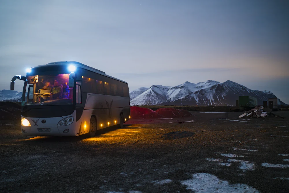
Deployed Crestwood's Mobile Lidar Van alongside the Niwot 30-meter eddy covariance flux tower, continuously measuring 20 Hz wind components, ozone profiles, and GC-MS hydrocarbon speciation across an elevation gradient from 5,400 ft to 10,500 ft.
Quantified Ecological Outcomes
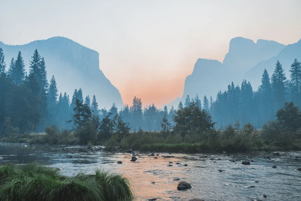
Quantified a persistent thermal inversion layer between 6,800 ft and 7,500 ft that traps urban NOx directly over the dense pine forest belt. The mixing of high-reactivity biogenic terpenes with anthropogenic nitrogen oxides produces severe ozone spikes exceeding 82 ppb, guiding regional vehicle emissions policies.
Dataset & Engineering Model Downloads
Access the complete underlying empirical telemetry, laboratory water chemistry titrations, or spatial matrices generated during this research initiative:
Investigation Summary
- Case Study: 03
- Collaborating Agency: National Center for Atmospheric Research (NCAR) & Colorado Dept. of Public Health
- Telemetry Resolution: 15-Minute Automated Sondes
- Data Status: Open Offline Archive